SIMEC
SIMEC
Promoter: PIXAIR, Unipessoal Lda.
Partners:NORCE - Norwegian Research Centre, A.S.
EEA Grants: 83.842,00€
Total Amount: 98.637.00€
Grace Code: PT-INNOVATION-0082
Programme:
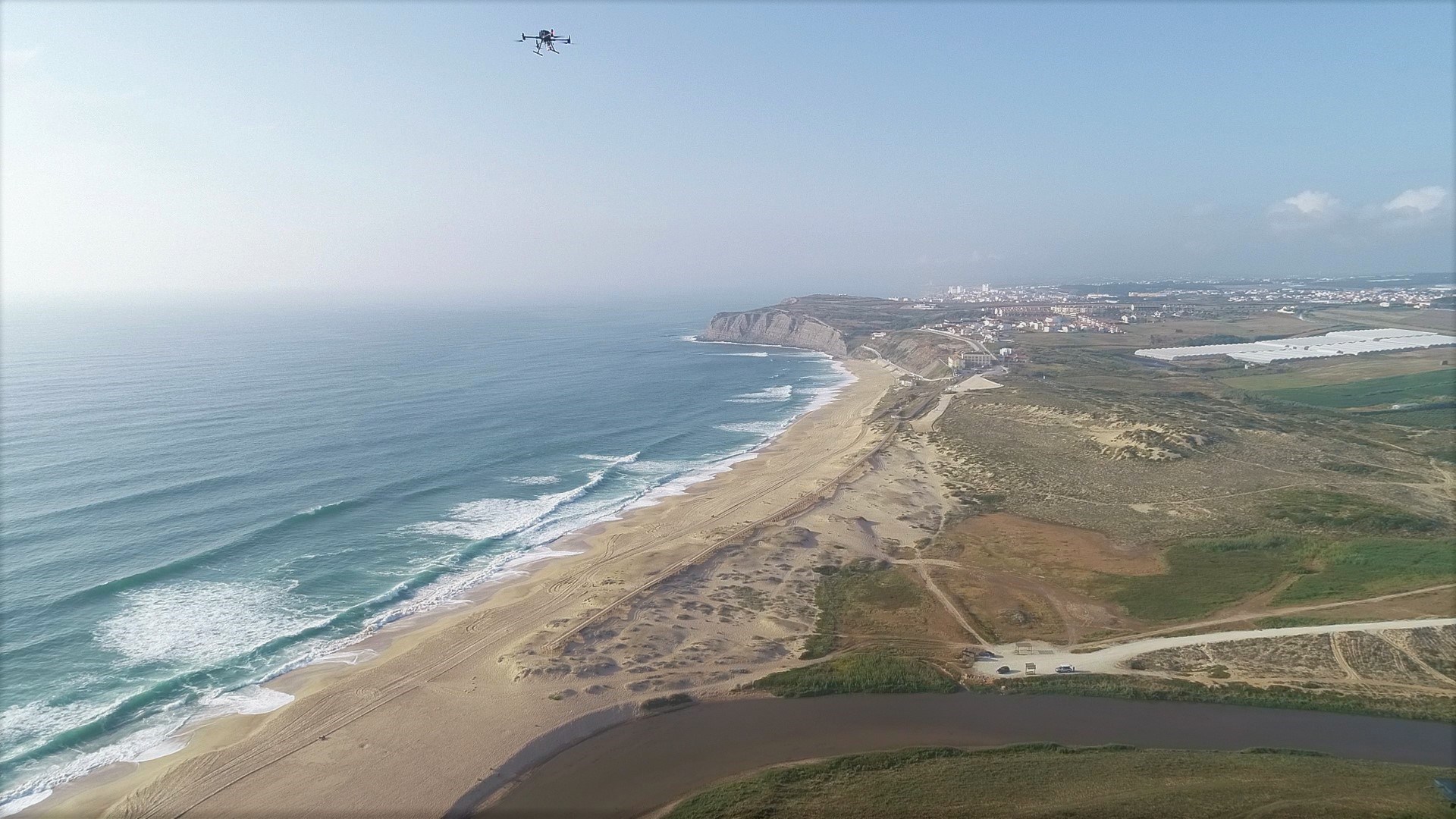
Coastal erosion is a very slow dynamic effect that needs the support of databases over time to create conditions to assess the rate at which territory is being lost to the sea.
The SIMEC project aims to carry out campaigns to collect aerial photogrammetry data from portions of coastal territory for the purpose of building high precision 3D digital terrain models, which allow the construction of a database with cyclical information.
The data collected intends to enable a detailed analysis of the chosen locations, their sharing with the scientific community, and the establishment of digital mechanisms for obtaining information. In addition, the existence of this database will make it possible to establish comparative and predictive models that generate more detailed information on rates of retreat and rates of loss of territory to the sea, supporting the management and decision-making of the authorities in terms of safety and coastal management.